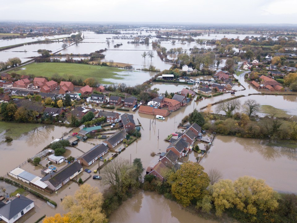
BRITAIN has over 200 flood alerts and warnings in place - with residents told to "take immediate action" and "be prepared".
So where is it flooding in the UK, which regions currently have flood warnings in place and how can you find out if your town is at risk? Here's the latest.
Where is it flooding in the UK today?
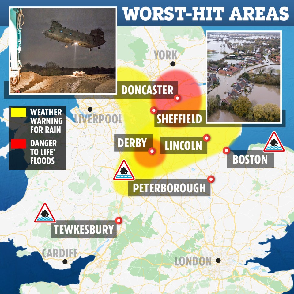
The Environment Agency has issued over 120 flood warnings after a danger to life weather warning stretched from central Wales to Doncaster overnight.
Over 160 flood alerts are also in place across southern England, Lancashire and East Anglia.
Almost 50mm of rain fell near Tal-y-Maes, Wales, yesterday and the 49.6mm recorded in Brecknockshire was almost matched by Ross-on-Wye in Herefordshire, which saw 48.8mm over the same period.
The Met Office said more snow is expected on higher ground in the coming days and further rainfall is likely to make flooding worse in areas such as Derbyshire and South Yorkshire.
Met Office forecaster Luke Myall said: "The ground is saturated and even small amounts of rainfall can lead to fairly significant impacts from flooding."
Soldiers were deployed to help around some the worst hit areas in Doncaster and South Yorkshire - just days after streets were submerged in flood water during another fierce deluge.
Met Office forecaster Luke Myall said: "The ground is saturated and even small amounts of rainfall can lead to fairly significant impacts from flooding."
More than 800 properties across parts of England have been affected by flooding so far with the Met Office warning of more rain on the way.
The Environment Agency said further wet weather over the next 48 hours could bring "severe" flooding to areas already affected by rising waters.
It comes after Dartmoor was blanketed in snow on Wednesday, November 13, after temperatures plummeted across parts of Devon and South Wales.
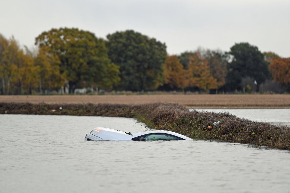
Cops in Ystradgynlais warned people to only travel if necessary after several vehicles got stuck in the showers causing chaos on the roads.
How do you find out if your area is at risk of flooding?
The government's gives an idea of which regions are at risk of flooding.
All information provided, particularly the likelihood of surface water flooding, is a general indicator of an area’s flood risk.
Met Office meteorologist Aidan McGivern said: "There is a risk some places will see significant amounts of rain, particularly the higher ground of North Wales, the Pennines, the North York Moors and the Peak District."
What are the worst floods in recent history?
- 1947 - Britain was hit by "the perfect storm". Over 100,000 homes were directly affected by flooding and over 750,000 hectares were submerged.
- 1953 - The North Sea Flood drowned 326 people in the UK at the end of January 1953. Flooding forced 30,000 people to be evacuated from their homes.
- 1987 - The Great Storm of 1987 led to 18 people losing their lives, with the damage costing over £1billion.
- 1990 - The Burn's Day Storm hit southern Scotland, causing the death of 47 people. Damage was widespread, with power supplies cut and roads and railways blocked.
- 2000 - The Met Office called it the "wettest autumn on record". More than 10,000 homes were flooded, with an estimated £1billion worth of damage
- 2004 - 20 million tonnes of water flowed through Boscastle, Cornwall, wtih 150 people airlifted to safety
- 2013 - Thousands of people had to be evacuated from their homes after what was considered the stormiest December since 1969
- 2015/2016 - Storm Desmond hit the Tyne, Lune and Eden, affecting 16,000 properties.
We pay for your stories! Do you have a story for The Sun Online news team? Email us at tips@the-sun.co.uk or call 0207 782 4368 . You can WhatsApp us on 07810 791 502. We pay for videos too. Click here to upload yours.


